

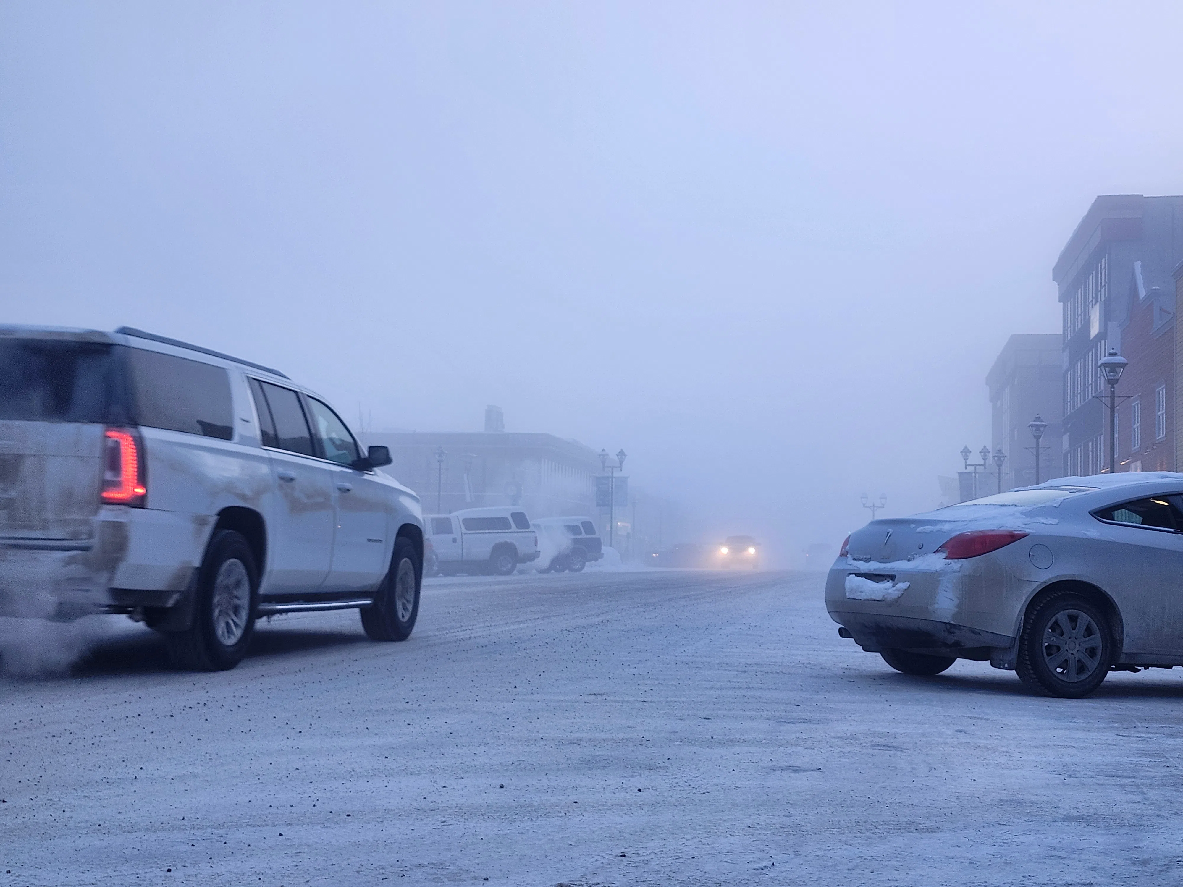
A fog settles over Main Street on the morning of March 2, as Environment Canada issues a cold warning for much of the territory. Photo Courtesy of Macklen Linke/CKRW.
Whitehorse, YT – An extreme cold warning is in effect for parts of Yukon while forecasters predict a slower start to spring in much of the territory.
Environment Canada says an Arctic airmass will bring overnight lows to -42 C through Tuesday morning in communities including Dawson, Mayo, Beaver Creek, Pelly-Carmacks, Faro-Ross River and Kluane Lake. With light winds, wind chill values could approach -50. Temperatures are expected to ease on Tuesday.
The weather office warns frostbite can develop within minutes on exposed skin, with the highest risk for young children, older adults, people with chronic illnesses and anyone working outdoors.
The bitter cold comes as the Weather Network predicts a sluggish start to spring in the Yukon in their seasonal outlook for March through May.
That outlook suggests that southeastern Yukon could see colder-than-normal temperatures, while the rest of the territory is expected to hover near seasonal.
Across Northern Canada, the outlook calls for above-normal temperatures in Nunavut and near-normal conditions elsewhere in the Northwest Territories, with some areas potentially turning drier as early summer approaches.


